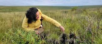
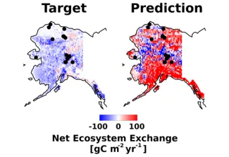
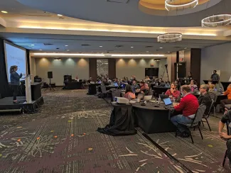
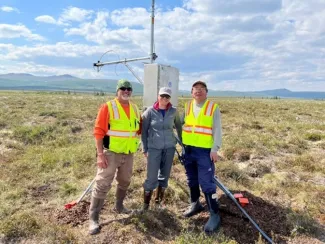
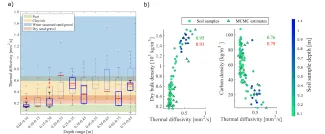
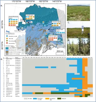
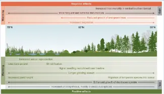
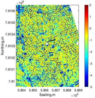
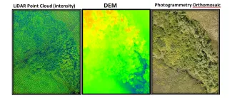
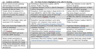
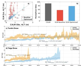
NGEE Arctic Continues to Scale Up Collaborations with NASA's ABoVE
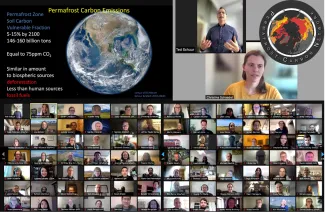
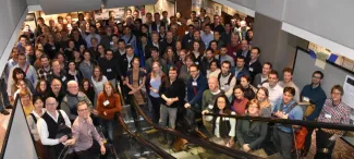
NGEE Arctic team members attended the 10th Annual ABoVE Science Team Meeting to indroduce Phase 4 of the project to facilitate ongoing and new collaborations between NGEE Arctic and NASA ABoVE.
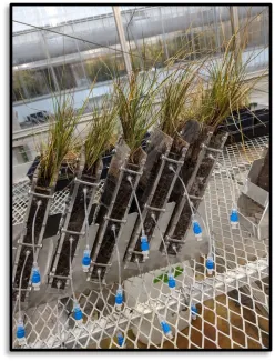
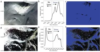
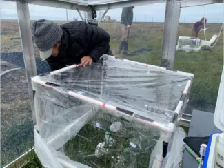
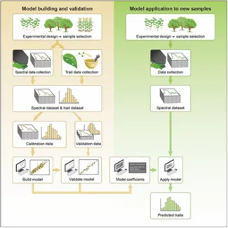
![The power-interval camera automation module [PiCAM] developed in this study to monitor plant phenology in remote environments like the Arctic.](/sites/default/files/styles/max_325x325/public/image/jpeg/yang.jpg.webp?itok=BaQNtdhT)