
Quantifying Arctic subsurface structure and dynamics is critical for improving our predictive understanding of the controls on the permafrost thaw and the consequences on subsurface and surface hydrology and associated carbon fluxes. To advance quantification, it is necessary to drill wells deeper than a few meters, which is the typical maximum depth of NGEE and other project sampling. A key objective of this phase of the NGEE Arctic project is to drill several deep wells into the permafrost down to below the permafrost or down to the bedrock to i) validate/constrain the bedrock and permafrost properties estimated using geophysical data, and ii) quantify subsurface hydrological flow and solute transport. An initial drilling campaign was successfully completed in September 2021. With a drilling subcontractor hired from the local Nome, Alaska area, we completed five 20 m deep holes along Teller road between mile 27 and 30. This campaign confirmed results from geophysical methods on the distribution of near-surface permafrost, talik, bedrock and groundwater. Further, in-well temperature measurements confirmed that the remaining permafrost at the site is warm with a temperature around -1 oC at 14 m depth. This campaign represents a successful test before proceeding with a larger drilling campaign in April 2022 at which time the drilling rig will be moved on snow across the watershed to complete wells that will aim at capturing thermal, hydrological and biogeochemical gradients. This understanding is critical for feeding into the NGEE Arctic IM1 and IM2 deliverables.
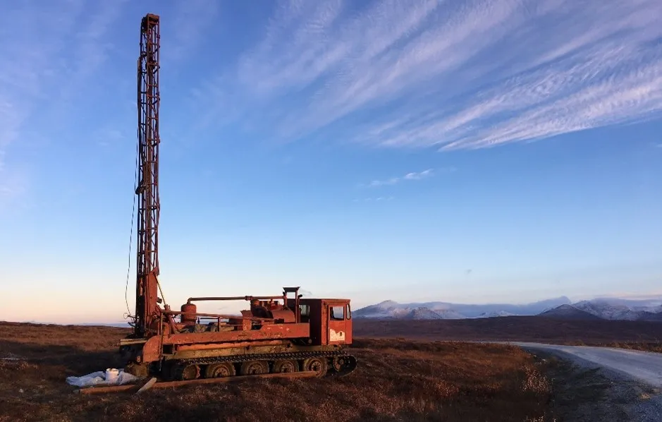
Air rotary drilling rig along Teller road at a location characterized by the presence of near-surface permafrost.
For more information, please contact:
Baptiste Dafflon
bdafflon@lbl.gov