24q1_iverson2.png
Image
Copyright License
 This work is licensed under a Creative Commons Attribution 4.0 International License.
Content size
1600354 bytes
Encoding format
image/png

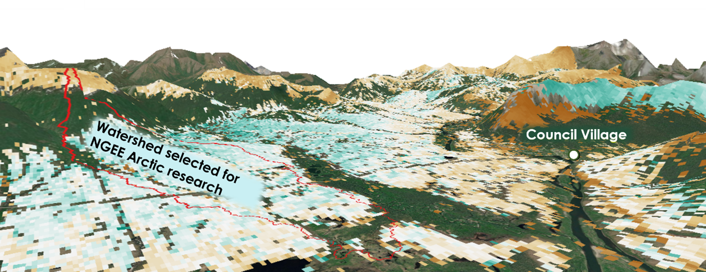
Advancing the predictive power of Earth system models through understanding
of the structure and function of Arctic terrestrial ecosystems