
Snow cover plays an important role in the climate, hydrology and ecological systems of the Arctic, however, the spatial distribution of snow depth and density are poorly represented for arctic regions where high-resolution snow data is limited. Researchers with NGEE Arctic project are collecting end of winter snow distribution data at high spatial resolution, and developing approaches to more accurately represent event-based snow redistribution processes. These new approaches are being tailored for application in catchment to regional scale models in order to assess the role of snow spatial variability as it interacts with permafrost hydrology and ecosystem function. We use data from two small catchments in the southern Seward Peninsula to identify key factors that control snow distribution and quantify the relative impacts of those factors. At the Teller catchment, intensive snow depth and density surveys were conducted in 2016, 2017 and 2018. These data are being co-analyzed with 2018 survey data from the Kougarok catchment. The snow water equivalent (SWE) was calculated from snow depth and snow density. A linear mixed model is used to quantify the impacts of external factors on snow distribution and to describe the spatial autocorrelation of snow distribution. Initial results from the Teller data show that snow spatial distribution was similar between 2016 and 2017; SWE has stronger correlation with the impacting factors than the snow depth; there is strong spatial autocorrelation in SWE distribution at two distinct scales, 16.6 m and 154.5m. SWE distribution was significantly impacted by the following factors: vegetation distribution, macro-topography, sun radiation, wind factor and micro-topography. We expect that our empirical statistical model for end of winter SWE will be used to inform an event-based snow redistribution model for the two study watersheds, and to ultimately estimate seasonally dynamic snow coverage and properties for the Seward Peninsula and pan-Arctic regions.
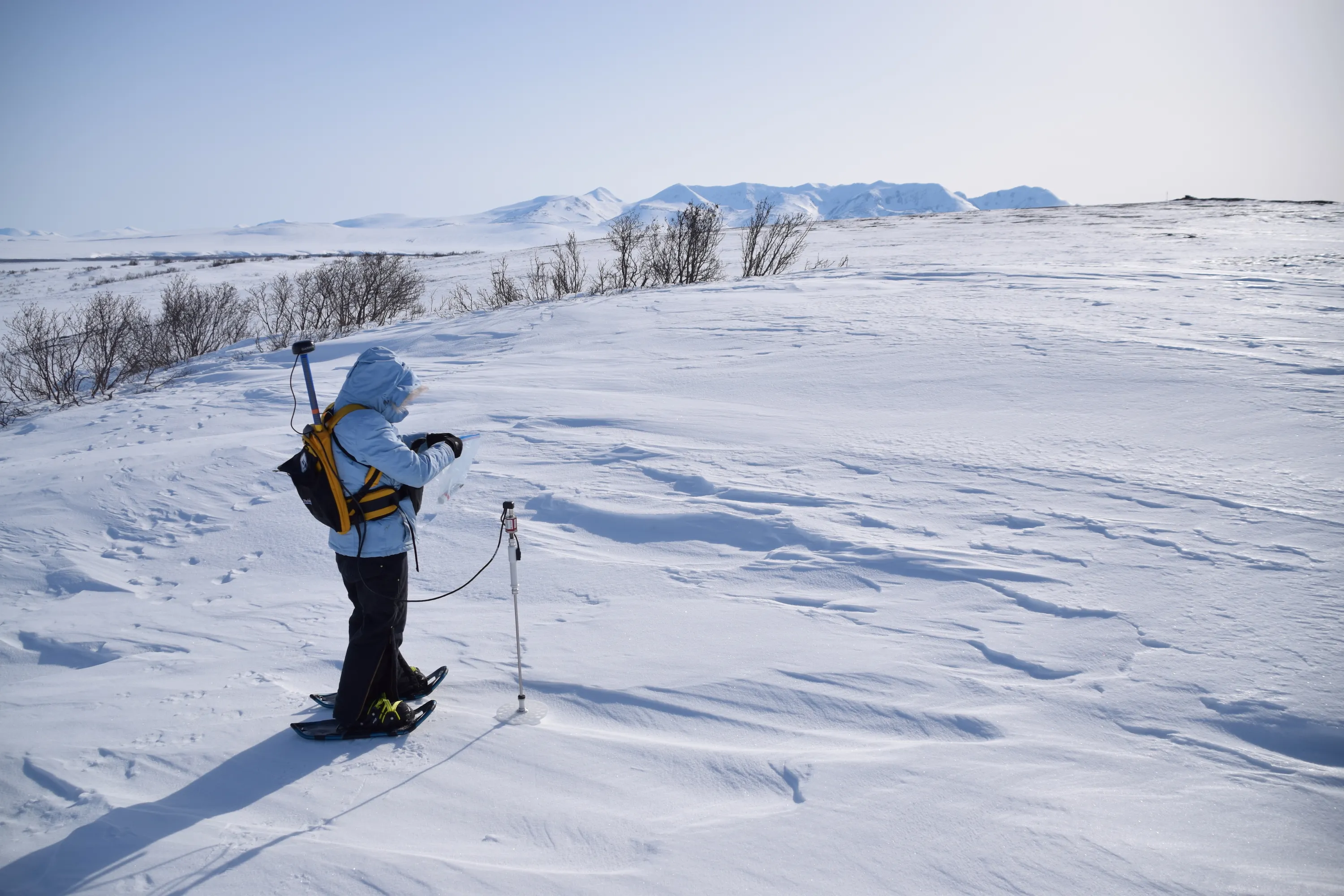
A researcher measures snow depth at the Kougarok field site
For more information, please contact:
Cathy Wilson
cjw@lanl.gov